Highlights
- Acquisition of comprehensive historical dataset complete, including more than 3,800 km2 of 3D and 7,000 km of 2D seismic data.
- Only one exploration well has been drilled in the 4,858km2 TEA area using 3D seismic data.
- Opportunity to explore a proven hydrocarbon bearing basin which remains virtually undrilled using modern 3D seismic data.
- The Company will now reprocess an aggregate of 1,000 km2 of 3D seismic (PSDM), targeting highly prospective area(s) with a view to refining advanced exploration targets and to allow the deployment of Quantitative Interpretation.
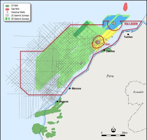
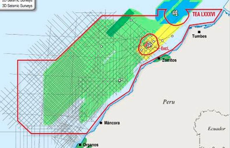
Jaguar Exploration Inc. (Jaguar) has obtained over 3,800km2 of 3D seismic data covering more than 66% of the Tumbes Basin TEA area (Figure One).
Figure 1: Tumbes Basin TEA database

In addition, more than 7,000 km of 2D seismic data and information from more than 50 wells relevant to the TEA area have also been received as well as numerous technical studies and independent resource and reserve audits. This information will be collated and incorporated into a prospectivity study which is now underway.
Despite the many discoveries of oil and gas made within and immediately adjacent to the Tumbes TEA it is significant to note that only two wells have been drilled since these 3D seismic data were acquired. One of those was a step-out well on an existing field to test the downdip extent of the oil column while the other was a genuine exploration well. The Tumbes TEA therefore presents the Company with an extraordinary opportunity to explore a proven hydrocarbon basin which remains virtually unexplored using modern 3D seismic data.
The Jaguar technical team have started work on the first phase of the interpretation project. The next milestone will be to high-grade areas within the Tumbes TEA where the 3D seismic data will undergo reprocessing. This should improve the fidelity of the data.


